Beaches in the towns of Duck, Southern Shores, Kitty Hawk, and Kill Devil Hills have been named as Best Restored Beaches for 2018 by the American Shore and Beach Preservation Association (ASBPA). The award highlights the value of restored beaches and the crucial role they play in providing wide and beautiful beaches that attract people from around the world.
2027 Beach Nourishment
Coastal Management Permit Application Notice
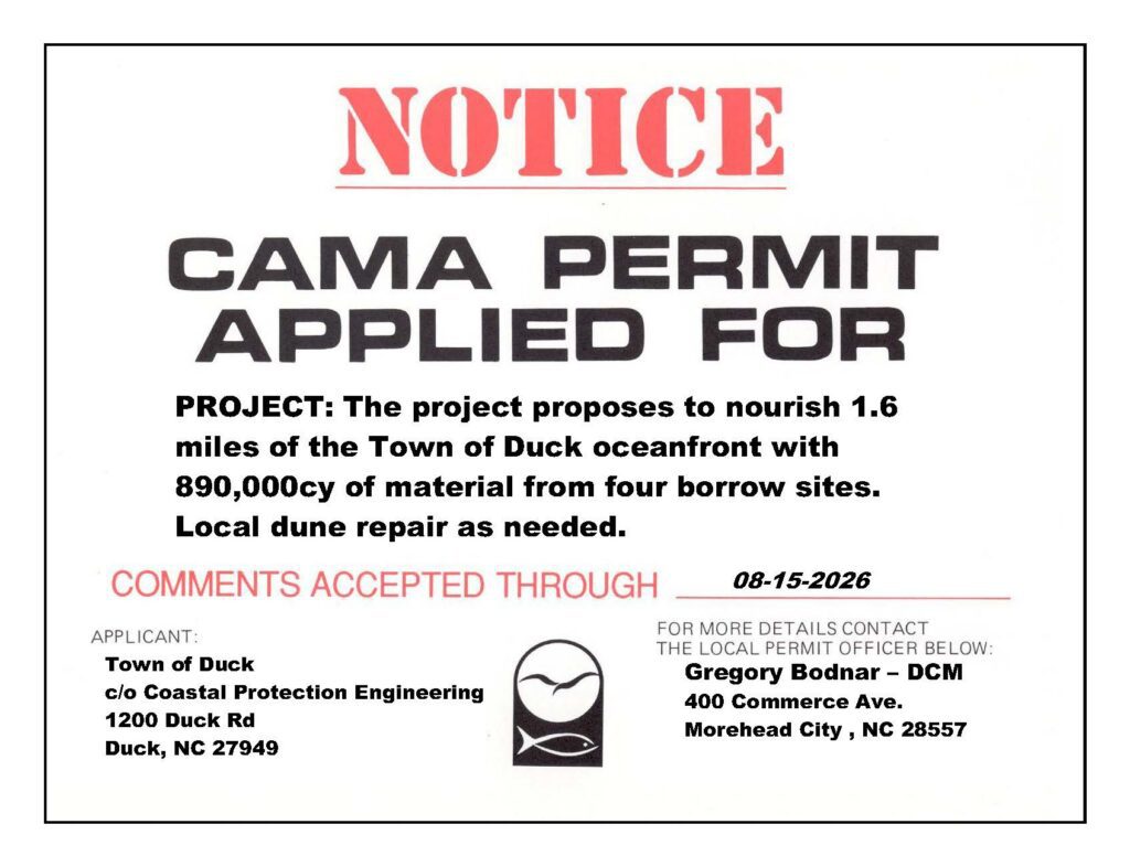
The Town of Duck has submitted an application to the North Carolina Division of Coastal Management (NCDCM) for state approval of a proposed beach nourishment in the project area located at 140 Skimmer Way.
The application was determined to be complete and accepted for review on July 13, 2026. The anticipated deadline for a permitting decision is September 26, 2026. If additional time is needed to complete the review, state law allows for an extension of up to 75 days. Should the review period be extended, the Town will be notified by the North Carolina Division of Coastal Management.
In accordance with N.C. General Statute 113A-119(b), a Notice of Permit Filing has been posted at the project site. The notice is displayed in a location that is visible from both the public roadway and the adjacent waterbody, providing public notice that the permit application is under review.
Comments regarding the upcoming project are accepted through August 15, 2026 to:
Comments can be submitted to Major Permit Coordinator,
Gregg Bodnar
Major Permits Coordinator
Division of Coastal Management
North Carolina Department of Environmental Quality
(252) 570-3658
[email protected]
2023 Beach Nourishment
The Town of Duck and Dare County have executed the nourishment dredging contract with Weeks Marine. Construction is planned to take place in the same area as the 2017 project. Click on the map to see an interactive version of the planned project area.
Weeks Marine began construction on April 11, 2023 and completed construction on May 14, 2023.
The project area spanned from just north of the Army Corps of Engineers Property to Skimmer Way.
Nearly 1.7 miles of beach was nourished with approximately 550,000 cubic yards of sand along a portion of the Town of Duck directly adjacent to the world-famous US Army Corps of Engineers Field Research Facility. The sand was dredged from an offshore borrow area through a lease with the Bureau of Ocean Energy Management.
View the timelapse of the beach niourishment project below.

Slideshow Gallery


More Beach to Love
MoreBeachtoLove.com is a collaborative effort by Dare County and the towns of Duck, Kitty Hawk, Kill Devil Hills, and Nags Head, to provide a resource to find and access information on all Dare County nourishment projects.
2017 Town of Duck Beach Nourishment
The Town of Duck completed its first beach nourishment project in the spring/summer of 2017. For the purpose of the Town’s project, beach nourishment is the process by which sand is brought by a dredge from offshore sand sources and pumped onto a beach. The sand is placed according to an engineered plan with specific criteria for a built beach (berm) and storm protection. Dare County (the contracting entity for the project which includes the Towns of Duck, Kitty Hawk, Kill Devil Hills, and Southern Shores) awarded the bid for the contract to Great Lakes Dredge and Dock Company. The bid totaled $38,596,850. A contract with Great Lakes Dredge and Dock Company was executed on April 19, 2016. Construction in the Town of Duck project began on May 23, 2017, and was completed on June 28, 2017. Work was completed in the Southern towns in late October 2017 ahead of the December 31, 2017 deadline. For additional information regarding the project as a whole, please visit www.MoreBeachtoLove.com. SEE BEFORE AND AFTER AERIAL IMAGERY HERE.
Time-lapse videos were created with photos taken every 10 minutes during the project. The Liberty Island dredge worked the southern end from the Widgeon Drive subline while the Dodge Island and Padre Island dredges worked the northern end before switching to work south, meeting work completed by the Liberty Island.